Application
4 Satellites constellation with high resolution from 2m to 2.36 m offers a mass archival data coverage and frequent revisit intervals, 6 M sq km could be crossed in one day.
Nadir and Forward/Backward image of EVIA 1 provides triplet info for DEM creating.
The image are used to creat and update map in the scale of 1:10 000
- Mining
- Agriculture
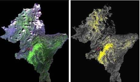
- Forestry
- Mapping
- Emergency
- Environment
- Marine
Satellite image could be integrated with the data of airborne images and other attribution mining data, terrain data for the mining application by clearly showing the structural and spectral characters and the shape of the geological body.
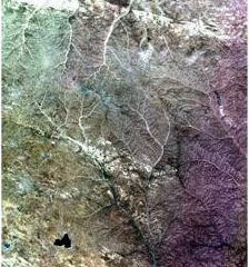
Satellite image

Integrated Satellite and airborne image
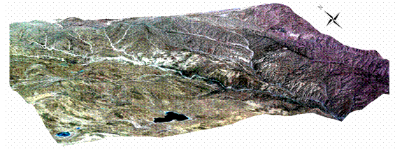
Stereo satellite image
Help to understand and estimate the changes regarding productivity, growth volume and crops on farm or grassland, and planting status of agricultural products.
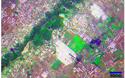
image fusion
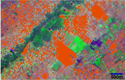
tobacco types classification
False color & cole flowers distribution analysis
Productivity and growth of farm, grasslands and forests, tree species distribution, planting status, forest monitoring and damage estimation.
Understand forests global mapping to analyze circulation mechanism of carbon and vegetation dynamics that play a major role for global warming.
Deforestation for urbanization, firewoods and exportation, human activities such as biomass burning, forests fire, and alteration of forests and grasslands due to natural disaster of drought.
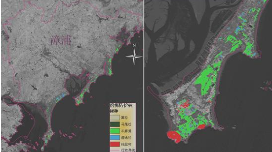
tree species analysis
forest monitoring
Geographic Information System (GIS) integrated map data into statistic information.
Study land management to establish arrangement plan and support management for urban facilities such as houses, trains, roads, water services.
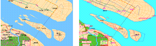
map update (before & after)
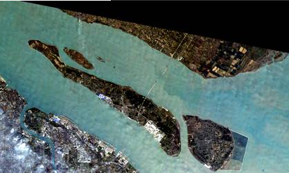
image used for map update
Mapping and land categorization. used for monitoring changes of land use.
Disaster Monitoring Applications for emergency of Flood, Earthquakes, volcano outburst, Forests fire, flooding, mudslides, Oil spill etc.
All of the satellites were used for MH 370 flight searching.
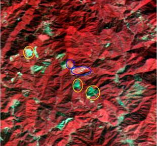
Forest fire case study:
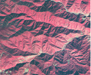
satellite image before the fire
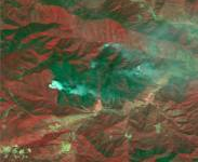
satellite image after the fire
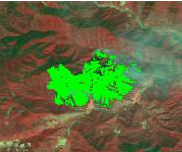
image interpretation for fire analysis
Satellite image are used for study on the subject that is deeply related to human residing areas such as environment assessment, monitoring climate change in urban areas including heat island phenomenon. By the interpretation of the satellite image, the land use changing could be monitored.
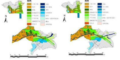
The satellite image of 2008/2006 land use interpretation
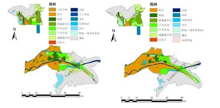
The satellite image of 2005/2004 land use interpretation
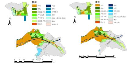
The satellite image of 2001/1999 land use interpretation
Ocean pollution, coastal erosion, coral reef distribution and changes could be monitored by satellite image interpretation, researches on wave, sea ice and coastal situation are also committed based on it
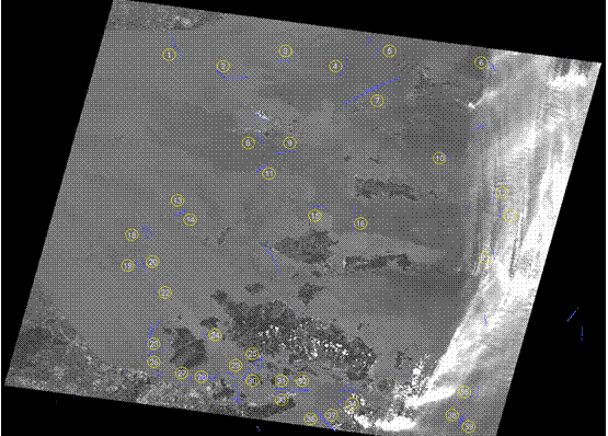
vessels search in the sea